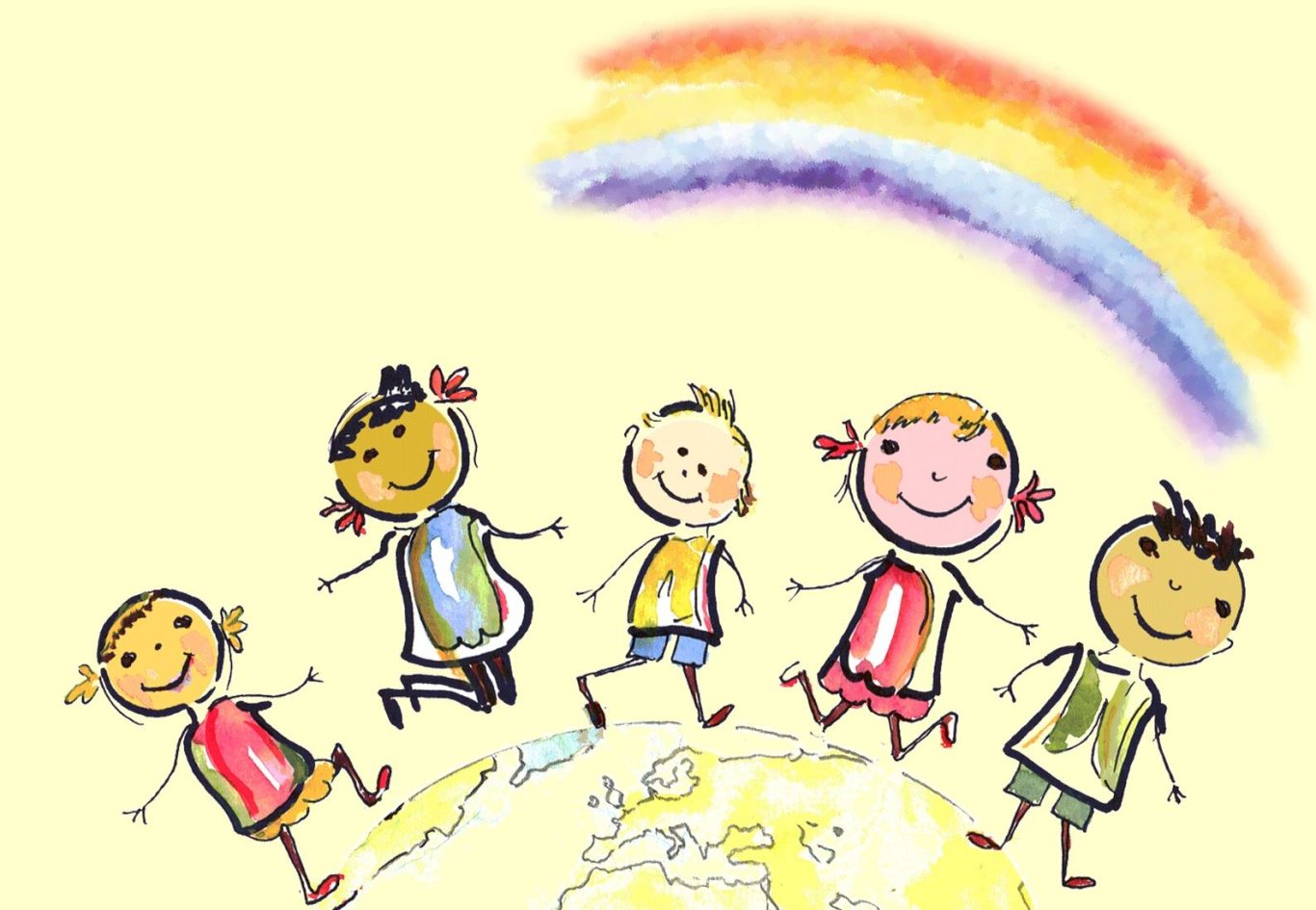
Lasst uns dem Leben einen Sinn geben ...!
Gemeinsam schaffen wir rundum GUTES, für uns und für alle Lebewesen auf unserer wunderschönen Erde ...
"Wir Kinder sind die Lichtboten der neuen Zeit, wir sind verbunden mit der Einheit, wir klopfen mal laut und mal leise ... und wir klopfen auf diese Weise alles alte Wissen aus unseren Eltern heraus ... So erkunden wir so manches Geheimnis!"
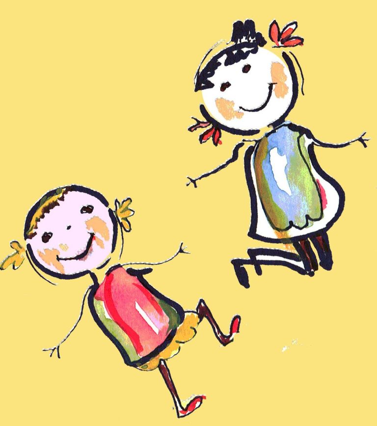
"Wir möchten unser Leben selbst steuern..., wünschen uns so sehr, dass wir in Augenhöhe miteinander kommunizieren!"
Gemeinsam mehr erreichen
Wir stehen in dieser Zeit vor großen Herausforderungen, Veränderungen, die vor keiner Haustür halt machen. Dazu brauchen wir Lösungen, die in alle Bereiche und Strukturen unserer Gesellschaft reichen. Ideen für neue Formen, die das Miteinander gestalten! Im Wandel der alles herausfordernden Zeit erfordert es grundlegende Veränderungen, auch im Bewusstsein der Menschen, um eine nachhaltige und positive Entwicklung zu ermöglichen. Für diesen Wandel braucht es verantwortungsvolle Menschen / Partnerschaften, die diese Veränderungen herbeiführen.
Die Initiatorinnen der Stiftung möchten Kindern, Jugendlichen und ihren Familien zur Seite stehen! Es werden Angebote / Projekte und Einrichtungen mit einer naturbezogenen, ganzheitlichen Lebensführung gefördert. Hauptschwerpunkte liegen im Bereich Erziehung, Bildung und Gesundheit, letzteres auch für die ältere Generation.
Aufgaben und Ziele sind:
- Einrichtungen für Eltern und Kinder zu unterstützen, die das Miteinander fördern.
- Therapiezentren in ihrer Arbeit zu unterstützen bzw. neu zu errichten, damit freie und unabhängige, individuelle Lösungen angeboten werden können.
Wir unterstützen "Herz-Projekte" und Einrichtungen für alle zentralen Lebenslagen.
Die Stiftung ist als gemeinnützig anerkannt! Steuernummer: 27/641/09283
Adelheid Gerth
1. Vorsitzende
Adelheid stammt gebürtig aus Thüringen, ist erfolgreiche Unternehmerin und Gründerin eines medizinischen Fachhandels in unserer Landeshauptstadt.
Adelheids Credo: "Kinder sind das Wertvollste einer Gesellschaft, sie sind unsere Zukunft!"
Johanna Tippkemper
2. Vorsitzende
Johanna wurde in Oelde, einer kleinen Stadt im Münsterland geboren, war Mutter von drei Kindern. 1990 verstarb eines ihrer Kinder. Durch dieses Schicksal veränderte sich ihr Leben grundlegend. Heute arbeitet sie als Autorin, gibt Seminare und Workshops.
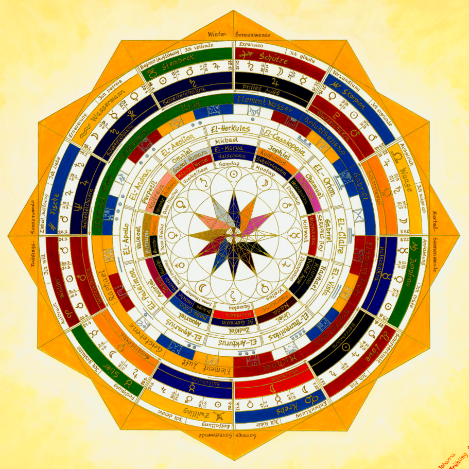
Die Magie des Herzstern
Bereits in der hermetischen Schrift "KYBALION" wurde festgehalten: "Nichts ruht, alles ist in Bewegung". In allen Bereichen sind wir von unterschiedlichsten Frequenzen umgeben. Das Spektrum aller Schwingungen sind fortlaufende Bewegungen der Weltraumkörper, die eine Resonanz auslösen (ein Wiedererklingen). Unsere Wahrnehmung wird erst dadurch möglich, dass sich Ton- und Lichtwellen über unsere Sinnesorgane, auf das Nervensystem und Gehirn übertragen.
Die Metamorphose dieses Keplersterns
... bis in die Unendlichkeit, sowohl nach außen als auch nach innen, verwandelt sich dieser wundervolle Stern - es ist das Sternenkind von Johanna, das alle kosmischen Grundprinzipien in sich vereint.
"Das in Bewegung bringen" eines Organismus
Heilprozesse werden aktiviert - Dissonanzen im feinstofflichen Feld gelöst - das Immunsystem gestärkt - innere Spannungen und Ängste gelöst - Konzentration und Kreativität verbessert, sowie Seele, Körper und Geist wieder in den Einklang gebracht. So können unterschiedlichste Frequenzen ohne großen Aufwand und kostenfrei, den Energielevel eines jeden Wesens anheben!
© Urheberrecht. Alle Rechte vorbehalten.
Wir benötigen Ihre Zustimmung zum Laden der Übersetzungen
Wir nutzen einen Drittanbieter-Service, um den Inhalt der Website zu übersetzen, der möglicherweise Daten über Ihre Aktivitäten sammelt. Bitte überprüfen Sie die Details in der Datenschutzerklärung und akzeptieren Sie den Dienst, um die Übersetzungen zu sehen.